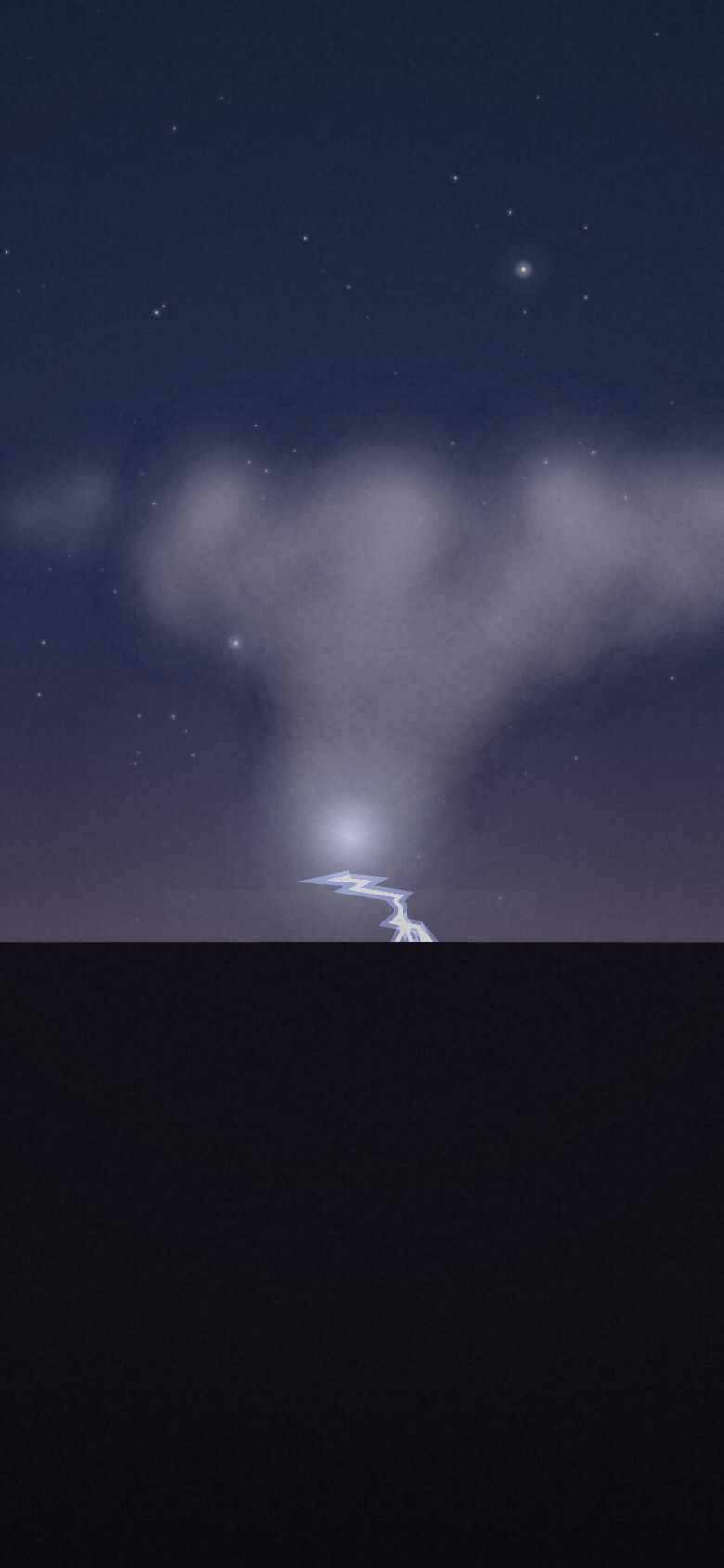
The Anvil
Monsoon lightning from Sonoran Desert, Arizona — 8 vantage points, ranked.
- Top seat
- 75/100Willcox Playa
- Clearest odds
- 74%Picacho Peak Frontage
- Darkest sky
- B2Willcox Playa
- Highest seat
- 1,920mWindy Point · Mt Lemmon Highway
Why the seat matters
Storms are the only show here that moves toward you, which turns the seat choice into a live problem: you need distance for the whole anvil in frame, a clean horizon for the bolts, and an exit. Elevated overlooks give the best geometry and are the most dangerous place to stand. That trade is the show.
- Season
- July – mid September
- Best months
- July and August, when the monsoon flow is established
- Cadence
- A season, not a date. Repeatable within it.
- Base
- Tucson
Dataset note. Lightning kills people who go to look at it. This simulator rates seats on their view, not their safety — the safest place in a thunderstorm is a hard-topped vehicle.
Every seat, ranked
Seat fit is the simulator’s own score — darkness, open horizon, historical clear-sky odds, altitude and reachability, weighted for what this show cares about. It ranks seats against each other; it is not a forecast for any night. Tap a seat for the full card.
-
01
Willcox Playa
Mezzanine · 32.140°N 109.840°W 75 Bortle2Clear68%Blocked2%Seat fit 75/100 — Strong seat. Weakest link: altitude.
A dry lakebed with a two-percent horizon — the closest thing to Great Plains geometry in Arizona. The access road becomes clay soup the moment it rains on you.
- Elevation
- 1,270 m
- Bortle class
- 2
- Sky blocked
- 2%
- Historically clear
- 68%
- Getting there
- 1 h 25 min drive + 5 min hike
- Facing
- 250°
- Facilities
- dirt access — impassable when wet, no facilities, town 15 min
-
02
Kitt Peak Approach Road
Balcony · 31.960°N 111.600°W 74 Bortle2Clear73%Blocked8%Seat fit 74/100 — Strong seat. Weakest link: altitude.
Darkest sky on the list with a long westward view over the Tohono O'odham Nation. The summit is closed at night and the land is not public — stay on the highway.
- Elevation
- 1,300 m
- Bortle class
- 2
- Sky blocked
- 8%
- Historically clear
- 73%
- Getting there
- 1 h 10 min drive
- Facing
- 280°
- Facilities
- road closed to summit after hours, lay-bys only, nation land — permits apply
-
03
Windy Point · Mt Lemmon Highway
Front row · 32.348°N 110.716°W 73 Bortle4Clear70%Blocked12%Seat fit 73/100 — Strong seat. Weakest link: open sky.
Two thousand metres above Tucson looking down onto the cells and the city at once. You are also the highest metal object on an exposed ridge in a lightning storm.
- Elevation
- 1,920 m
- Bortle class
- 4
- Sky blocked
- 12%
- Historically clear
- 70%
- Getting there
- 40 min drive + 3 min hike
- Facing
- 210°
- Facilities
- paved overlook, no toilets, no shelter — lightning exposure
Elevated exposed overlooks are the most dangerous place to watch lightning. This seat is rated for its view, not its safety.
-
04
Picacho Peak Frontage
Front row · 32.644°N 111.400°W 72 Bortle3Clear74%Blocked4%Seat fit 72/100 — Strong seat. Weakest link: altitude.
A four-percent horizon across open desert with one perfect peak in the frame and an interstate exit for a fast retreat. The chaser's default for a reason.
- Elevation
- 550 m
- Bortle class
- 3
- Sky blocked
- 4%
- Historically clear
- 74%
- Getting there
- 55 min drive + 2 min hike
- Facing
- 270°
- Facilities
- state park, campground, toilets, fuel at I-10
-
05
Gates Pass
Front row · 32.220°N 111.108°W 69 Bortle5Clear72%Blocked10%Seat fit 69/100 — Strong seat. Weakest link: altitude.
Saguaro silhouettes against a wall of cells rolling in from the west. Twenty-five minutes from downtown and the gate technically shuts at sunset.
- Elevation
- 1,000 m
- Bortle class
- 5
- Sky blocked
- 10%
- Historically clear
- 72%
- Getting there
- 25 min drive + 4 min hike
- Facing
- 250°
- Facilities
- car park (closes at dusk officially), ramadas, no water
-
06
Saguaro NP East · Cactus Forest Loop
Mezzanine · 32.180°N 110.730°W 67 Bortle4Clear71%Blocked14%Seat fit 67/100 — Strong seat. Weakest link: altitude.
The densest saguaro foreground in Arizona. The loop gate locks at sunset, which is roughly when the storms get good — this seat is a race, not a plan.
- Elevation
- 950 m
- Bortle class
- 4
- Sky blocked
- 14%
- Historically clear
- 71%
- Getting there
- 35 min drive + 3 min hike
- Facing
- 220°
- Facilities
- loop road (gates close at sunset), toilets, visitor centre
-
07
Catalina State Park
Mezzanine · 32.420°N 110.920°W 63 Bortle4Clear70%Blocked18%Seat fit 63/100 — Strong seat. Weakest link: altitude.
Camp inside the park and watch cells build over the Catalinas from a picnic table. The range itself blocks the eastern half of the action.
- Elevation
- 830 m
- Bortle class
- 4
- Sky blocked
- 18%
- Historically clear
- 70%
- Getting there
- 30 min drive + 5 min hike
- Facing
- 230°
- Facilities
- campground, showers, toilets, ranger station
-
08
Sentinel Peak ("A" Mountain)
Balcony · 32.212°N 110.990°W 63 Bortle7Clear72%Blocked16%Seat fit 63/100 — Strong seat. Weakest link: altitude.
Drive to a city overlook and shoot lightning over downtown with the car door open beside you. The safest lightning seat here and the most light-polluted.
- Elevation
- 880 m
- Bortle class
- 7
- Sky blocked
- 16%
- Historically clear
- 72%
- Getting there
- 10 min drive
- Facing
- 260°
- Facilities
- paved summit road, car park, city 10 min, road closes 22:00
What is actually happening
Monsoon thunderstorms are driven by moisture drawn north from the Gulf of California over a desert surface heating past 40 °C. Updrafts punch to the tropopause at around 14 km and spread laterally into the anvil. Charge separates as graupel and ice crystals collide in the updraft; when the potential difference beats the air's dielectric strength you get a stepped leader and a return stroke that heats the channel to about 30,000 K in microseconds.
Other shows
 Aurora BorealisLofoten Islands, Norway
 Aurora AustralisTasmania, Australia
 Totality · 12 August 2026Northern Spain
 Moonrise EclipseHigh Atlas, Morocco
 The Perseid MaximumColorado Plateau, USA
 The Galactic CoreAtacama Desert, Chile
 The Glowing TideJervis Bay, Australia
 Silver CloudsNorthumberland & the Scottish Borders
 The MoonbowVictoria Falls, Zambia & Zimbabwe
 The Long TailLa Palma, Canary Islands
 Fire on the HorizonMount Etna, Sicily
 Lenticular AlpenglowAoraki / Mount Cook, New Zealand
 The MurmurationSomerset Levels, England
Front Row is a planning simulator on a curated dataset. Every place and coordinate is real; elevation, Bortle class, horizon obstruction and cloud odds are researched estimates for the site and season — climatology and site character, not a forecast. Background skies are rendered by the simulator, not photographed. Verify real conditions and access with an authoritative local source before you travel.
Open the simulator · All seat guides · Part of Rarest World