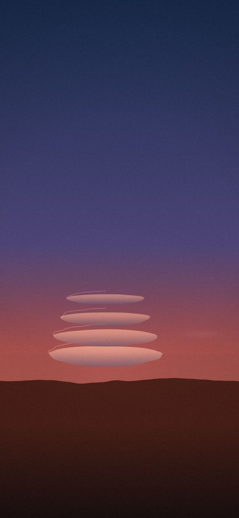
Lenticular Alpenglow
Lenticular clouds at alpenglow from Aoraki / Mount Cook, New Zealand — 8 vantage points, ranked.
- Top seat
- 68/100Mount John Summit
- Clearest odds
- 67%Lake Pukaki Lookout
- Darkest sky
- B2Mount John Summit
- Highest seat
- 1,300mSealy Tarns
Why the seat matters
Alpenglow is a lighting event with a ten-minute half-life, and valleys go into shadow long before the summits do. Being level with or above the cloud stack instead of underneath it changes it from a pink smudge to a structure. The Mackenzie Basin offers the whole ladder — a lay-by at 520 m, a summit road at 1,029 m, and 2,200 steps to 1,300 m.
- Season
- Year round, best in shoulder seasons
- Best months
- March–May and September–November, in a strong north-west flow
- Cadence
- A season, not a date. Repeatable within it.
- Base
- Aoraki / Mount Cook Village
Every seat, ranked
Seat fit is the simulator’s own score — darkness, open horizon, historical clear-sky odds, altitude and reachability, weighted for what this show cares about. It ranks seats against each other; it is not a forecast for any night. Tap a seat for the full card.
-
01
Mount John Summit
Mezzanine · 43.986°S 170.465°E 68 Bortle2Clear66%Blocked5%Seat fit 68/100 — Strong seat. Weakest link: altitude.
Drive to a five-percent horizon in the middle of the Mackenzie Dark Sky Reserve. The mountains are fifty kilometres away, so the lenticulars are small and perfect.
- Elevation
- 1,029 m
- Bortle class
- 2
- Sky blocked
- 5%
- Historically clear
- 66%
- Getting there
- 50 min drive
- Facing
- 320°
- Facilities
- sealed summit road (toll), cafe (closes 17:00), observatory tours, toilets
-
02
Lake Pukaki Lookout
Balcony · 44.077°S 170.142°E 64 Bortle3Clear67%Blocked6%Seat fit 64/100 — Strong seat. Weakest link: altitude.
A six-percent horizon, a toilet block and a salmon sandwich, forty metres from the car. Sixty kilometres of distance shrinks the drama; nothing else is wrong with it.
- Elevation
- 520 m
- Bortle class
- 3
- Sky blocked
- 6%
- Historically clear
- 67%
- Getting there
- 35 min drive
- Facing
- 355°
- Facilities
- big sealed car park, toilets, salmon shop, campervans welcome
-
03
Peter's Lookout
Front row · 43.933°S 170.140°E 64 Bortle2Clear64%Blocked8%Seat fit 64/100 — Strong seat. Weakest link: altitude.
The whole massif, the whole lenticular stack, and the whole turquoise lake, from a lay-by. Eight percent obstruction and two minutes from the car — the best value seat in New Zealand.
- Elevation
- 560 m
- Bortle class
- 2
- Sky blocked
- 8%
- Historically clear
- 64%
- Getting there
- 25 min drive + 2 min hike
- Facing
- 350°
- Facilities
- sealed lay-by, no toilets, no barrier
-
04
Lake Tekapo Village Foreshore
Balcony · 44.004°S 170.477°E 63 Bortle4Clear67%Blocked14%Seat fit 63/100 — Strong seat. Weakest link: altitude.
Hot pools, dinner, and the Church of the Good Shepherd. You are eighty kilometres from Aoraki and the alpenglow arrives as a pink smudge, not an event.
- Elevation
- 710 m
- Bortle class
- 4
- Sky blocked
- 14%
- Historically clear
- 67%
- Getting there
- no drive
- Facing
- 320°
- Facilities
- hotels, hot pools, restaurants, everything
-
05
Red Tarns
Mezzanine · 43.729°S 170.099°E 55 Bortle2Clear56%Blocked20%Seat fit 55/100 — Workable compromise. Altitude is what you are paying.
An hour of steps above the village for a tarn that mirrors Aoraki and the whole stack. Half the effort of Sealy Tarns for two thirds of the view.
- Elevation
- 1,060 m
- Bortle class
- 2
- Sky blocked
- 20%
- Historically clear
- 56%
- Getting there
- 8 min drive + 1 h 5 min hike
- Facing
- 315°
- Facilities
- no facilities, steep steps, village 8 min
-
06
Tasman Glacier Lake View
Mezzanine · 43.669°S 170.177°E 54 Bortle2Clear57%Blocked24%Seat fit 54/100 — Workable compromise. Altitude is what you are paying.
A short climb to a moraine wall above the iceberg lake. The Burnett range takes a quarter of the sky and the wind funnels down the valley all evening.
- Elevation
- 800 m
- Bortle class
- 2
- Sky blocked
- 24%
- Historically clear
- 57%
- Getting there
- 20 min drive + 25 min hike
- Facing
- 340°
- Facilities
- car park, toilets, formed track
-
07
Sealy Tarns
Front row · 43.718°S 170.091°E 52 Bortle2Clear56%Blocked22%Seat fit 52/100 — Workable compromise. Altitude is what you are paying.
Two thousand two hundred steps to stand level with the lenticular stack instead of under it. There is no version of this seat that is not brutal.
- Elevation
- 1,300 m
- Bortle class
- 2
- Sky blocked
- 22%
- Historically clear
- 56%
- Getting there
- 10 min drive + 1 h 50 min hike
- Facing
- 320°
- Facilities
- no facilities, 2,200 steps, alpine exposure
-
08
Hooker Lake Terminal
Front row · 43.690°S 170.087°E 51 Bortle2Clear58%Blocked26%Seat fit 51/100 — Workable compromise. Altitude is what you are paying.
Icebergs in the foreground and Aoraki filling the sky, seventy minutes up a maintained track. The valley walls take a quarter of your frame.
- Elevation
- 880 m
- Bortle class
- 2
- Sky blocked
- 26%
- Historically clear
- 58%
- Getting there
- 12 min drive + 1 h 10 min hike
- Facing
- 335°
- Facilities
- swing bridges, toilets at trailhead, no shelter
What is actually happening
When a stable, moist airstream is forced over the Southern Alps it sets up a standing wave downwind. Air rises in the crest of the wave, cools past its dew point and condenses; it descends in the trough and evaporates again. The cloud is therefore stationary while the air rushes through it at gale speed — and because the wave is layered, the cloud stacks into the lens shapes. At sunset the low sun lights them from beneath after the valleys are already dark.
Other shows
 Aurora BorealisLofoten Islands, Norway
 Aurora AustralisTasmania, Australia
 Totality · 12 August 2026Northern Spain
 Moonrise EclipseHigh Atlas, Morocco
 The Perseid MaximumColorado Plateau, USA
 The Galactic CoreAtacama Desert, Chile
 The Glowing TideJervis Bay, Australia
 Silver CloudsNorthumberland & the Scottish Borders
 The MoonbowVictoria Falls, Zambia & Zimbabwe
 The Long TailLa Palma, Canary Islands
 Fire on the HorizonMount Etna, Sicily
 The AnvilSonoran Desert, Arizona
 The MurmurationSomerset Levels, England
Front Row is a planning simulator on a curated dataset. Every place and coordinate is real; elevation, Bortle class, horizon obstruction and cloud odds are researched estimates for the site and season — climatology and site character, not a forecast. Background skies are rendered by the simulator, not photographed. Verify real conditions and access with an authoritative local source before you travel.
Open the simulator · All seat guides · Part of Rarest World