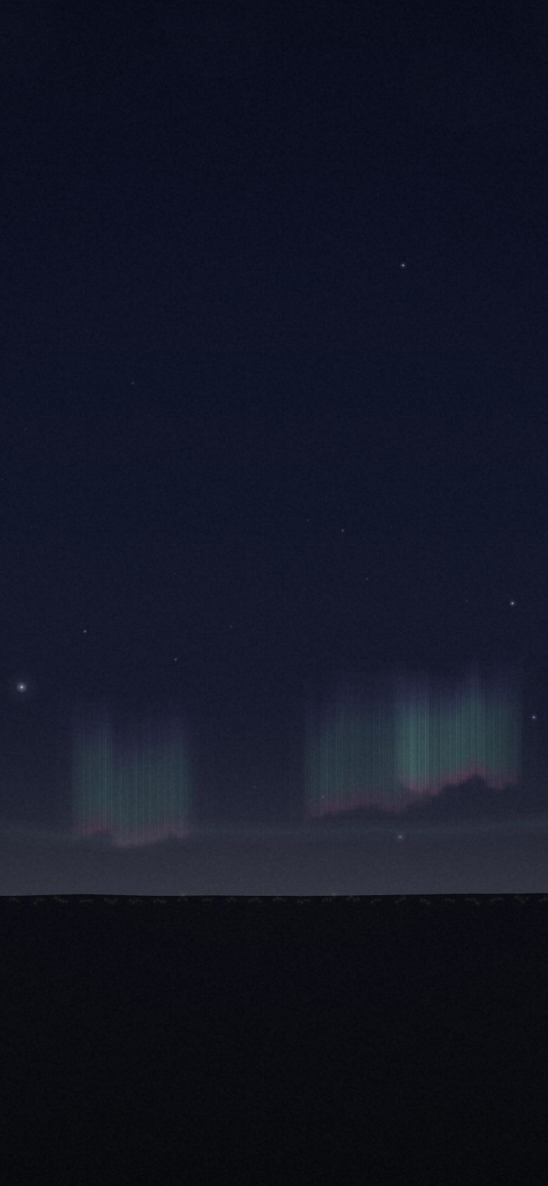
Aurora Australis
The southern lights from Tasmania, Australia — 8 vantage points, ranked.
- Top seat
- 63/100Carlton Beach
- Clearest odds
- 50%Rosny Hill Lookout
- Darkest sky
- B1Strathgordon · Lake Pedder
- Highest seat
- 1,271mkunanyi / Mt Wellington Pinnacle
Why the seat matters
When the display is permanently low, obstruction is everything and elevation is nearly worthless. A cliff at 40 m with a clean ocean horizon beats a 1,271 m summit with a city underneath it. The whole southern coast of Tasmania is the grandstand; the only question is which bit of it is not in cloud.
- Season
- March – September
- Best months
- May–August around equinox-adjacent geomagnetic storms
- Cadence
- Available most clear nights in season — the constraint is activity and weather, not the calendar.
- Base
- Hobart
Every seat, ranked
Seat fit is the simulator’s own score — darkness, open horizon, historical clear-sky odds, altitude and reachability, weighted for what this show cares about. It ranks seats against each other; it is not a forecast for any night. Tap a seat for the full card.
-
01
Carlton Beach
Mezzanine · 42.876°S 147.639°E 63 Bortle4Clear47%Blocked9%Seat fit 63/100 — Strong seat. Weakest link: clear odds.
Flat sand, low horizon, a surf club car park you can retreat to. Nothing here is dramatic except the sky, which is the point.
- Elevation
- 3 m
- Bortle class
- 4
- Sky blocked
- 9%
- Historically clear
- 47%
- Getting there
- 45 min drive + 2 min hike
- Facing
- 170°
- Facilities
- car park, toilets, shop 5 min
-
02
Randalls Bay
Mezzanine · 43.238°S 147.115°E 62 Bortle3Clear44%Blocked11%Seat fit 62/100 — Strong seat. Weakest link: clear odds.
A quiet crescent in the Huon with darker sky than the Hobart beaches and only an extra half hour of driving to pay for it.
- Elevation
- 4 m
- Bortle class
- 3
- Sky blocked
- 11%
- Historically clear
- 44%
- Getting there
- 1 h 15 min drive + 2 min hike
- Facing
- 180°
- Facilities
- car park, toilets, no lighting
-
03
Goat Bluff Lookout
Front row · 43.047°S 147.510°E 62 Bortle4Clear48%Blocked12%Seat fit 62/100 — Strong seat. Weakest link: clear odds.
Thirty-five minutes from Hobart onto a south-facing cliff with the city glow safely behind you. The best effort-to-sky ratio in the state.
- Elevation
- 42 m
- Bortle class
- 4
- Sky blocked
- 12%
- Historically clear
- 48%
- Getting there
- 35 min drive + 3 min hike
- Facing
- 175°
- Facilities
- sealed car park, no toilets
-
04
kunanyi / Mt Wellington Pinnacle
Balcony · 42.896°S 147.237°E 62 Bortle5Clear38%Blocked8%Seat fit 62/100 — Strong seat. Weakest link: clear odds.
You can drive to 1,271 m and stand in a heated shelter — but Hobart is directly below you and the summit is in cloud more often than not.
- Elevation
- 1,271 m
- Bortle class
- 5
- Sky blocked
- 8%
- Historically clear
- 38%
- Getting there
- 35 min drive
- Facing
- 175°
- Facilities
- sealed road to summit, enclosed shelter, toilets
-
05
Cockle Creek
Front row · 43.590°S 146.893°E 62 Bortle2Clear42%Blocked8%Seat fit 62/100 — Strong seat. Weakest link: clear odds.
The southernmost road in Australia, with nothing between you and Antarctica. Two and a half hours from Hobart on the last hour of gravel.
- Elevation
- 8 m
- Bortle class
- 2
- Sky blocked
- 8%
- Historically clear
- 42%
- Getting there
- 2 h 45 min drive + 5 min hike
- Facing
- 180°
- Facilities
- campground, pit toilets, no fuel for 60 km, no phone signal
-
06
Cape Bruny Lighthouse
Front row · 43.493°S 147.143°E 60 Bortle2Clear43%Blocked10%Seat fit 60/100 — Workable compromise. Clear odds is what you are paying.
A clean ocean horizon from a headland with a lighthouse for foreground. The ferry timetable, not the sky, decides whether this seat is possible.
- Elevation
- 100 m
- Bortle class
- 2
- Sky blocked
- 10%
- Historically clear
- 43%
- Getting there
- 3 h 15 min drive + 8 min hike
- Facing
- 185°
- Facilities
- ferry required (last sailing 18:30), campground, toilets
-
07
Strathgordon · Lake Pedder
Mezzanine · 42.766°S 146.048°E 57 Bortle1Clear32%Blocked18%Seat fit 57/100 — Workable compromise. Clear odds is what you are paying.
Bortle 1 and a lake that doubles the curtain — but the Southwest makes its own weather. Two nights in three you will drive three hours to see cloud.
- Elevation
- 308 m
- Bortle class
- 1
- Sky blocked
- 18%
- Historically clear
- 32%
- Getting there
- 2 h 30 min drive + 5 min hike
- Facing
- 190°
- Facilities
- lodge, no fuel after Maydena, no signal
-
08
Rosny Hill Lookout
Balcony · 42.860°S 147.370°E 51 Bortle6Clear50%Blocked26%Seat fit 51/100 — Workable compromise. Open sky is what you are paying.
Ten minutes from the city with a south-facing lookout. Bortle 6 means a strong substorm or nothing — a seat for a big night only.
- Elevation
- 90 m
- Bortle class
- 6
- Sky blocked
- 26%
- Historically clear
- 50%
- Getting there
- 10 min drive
- Facing
- 180°
- Facilities
- sealed car park, food 8 min, lit path
What is actually happening
The southern auroral oval is the mirror image of the northern one, but Tasmania sits further from the geomagnetic pole than Norway does — around 54° geomagnetic against Lofoten's 65°. That single fact changes the whole product: the aurora is almost always low on the southern horizon, often below the visual threshold, and shows up in camera as a pink and green glow long before the eye catches it. It takes a real storm to lift it overhead.
Other shows
 Aurora BorealisLofoten Islands, Norway
 Totality · 12 August 2026Northern Spain
 Moonrise EclipseHigh Atlas, Morocco
 The Perseid MaximumColorado Plateau, USA
 The Galactic CoreAtacama Desert, Chile
 The Glowing TideJervis Bay, Australia
 Silver CloudsNorthumberland & the Scottish Borders
 The MoonbowVictoria Falls, Zambia & Zimbabwe
 The Long TailLa Palma, Canary Islands
 Fire on the HorizonMount Etna, Sicily
 Lenticular AlpenglowAoraki / Mount Cook, New Zealand
 The AnvilSonoran Desert, Arizona
 The MurmurationSomerset Levels, England
Front Row is a planning simulator on a curated dataset. Every place and coordinate is real; elevation, Bortle class, horizon obstruction and cloud odds are researched estimates for the site and season — climatology and site character, not a forecast. Background skies are rendered by the simulator, not photographed. Verify real conditions and access with an authoritative local source before you travel.
Open the simulator · All seat guides · Part of Rarest World