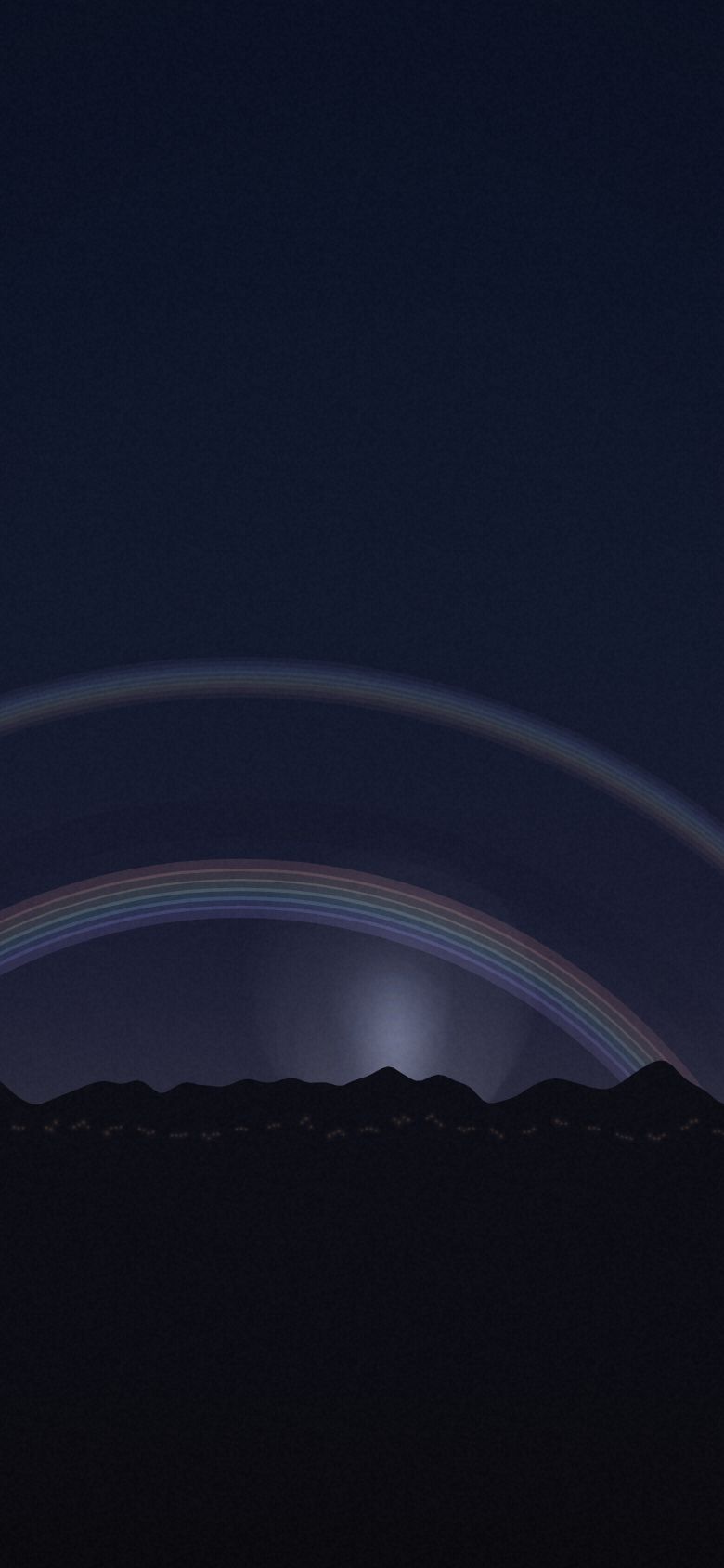
The Moonbow
The Victoria Falls moonbow from Victoria Falls, Zambia & Zimbabwe — 8 vantage points, ranked.
- Top seat
- 75/100Victoria Falls Bridge
- Clearest odds
- 82%Victoria Falls Bridge
- Darkest sky
- B4Eastern Cataract Rim (Zambia)
- Highest seat
- 925mLookout Tree Platform
Why the seat matters
The bow only exists where the spray column, the moon and your eye line up at exactly the right angle, and the spray column moves with the wind. Three viewpoints two hundred metres apart give three completely different results on the same night — one soaked and glorious, one dry and empty. This is geometry, not luck, and it is the purest illustration of what this whole tool is for.
- Season
- Full moon, high-water season
- Best months
- April–July, on the two or three nights around full moon
- Cadence
- A specific, predictable event.
- Base
- Victoria Falls town
Every seat, ranked
Seat fit is the simulator’s own score — darkness, open horizon, historical clear-sky odds, altitude and reachability, weighted for what this show cares about. It ranks seats against each other; it is not a forecast for any night. Tap a seat for the full card.
-
01
Victoria Falls Bridge
Mezzanine · 17.928°S 25.852°E 75 Bortle5Clear82%Blocked12%Seat fit 75/100 — Strong seat. Weakest link: darkness.
The widest angle on the gorge and the lowest obstruction — from a working international border crossing, with sodium lamps and traffic on it.
- Elevation
- 890 m
- Bortle class
- 5
- Sky blocked
- 12%
- Historically clear
- 82%
- Getting there
- 20 min drive + 5 min hike
- Facing
- 300°
- Facilities
- border formalities, walkway, cafe, lit
-
02
Riverside Lodge Lawn
Balcony · 17.913°S 25.833°E 75 Bortle5Clear82%Blocked16%Seat fit 75/100 — Strong seat. Weakest link: darkness.
A gin and tonic, a lawn, and the spray column glowing two kilometres away. You get the moon-pillar and the mist glow; you do not get the arc.
- Elevation
- 900 m
- Bortle class
- 5
- Sky blocked
- 16%
- Historically clear
- 82%
- Getting there
- 8 min drive
- Facing
- 294°
- Facilities
- hotel, bar, restaurant, lawn chairs, hippos in the river
-
03
Eastern Cataract Rim (Zambia)
Mezzanine · 17.929°S 25.862°E 75 Bortle4Clear82%Blocked18%Seat fit 75/100 — Strong seat. Weakest link: open sky.
Less spray than Knife-Edge means a fainter bow but a dry camera. In high water this is the only Zambian seat where you can see anything at all.
- Elevation
- 920 m
- Bortle class
- 4
- Sky blocked
- 18%
- Historically clear
- 82%
- Getting there
- 12 min drive + 12 min hike
- Facing
- 298°
- Facilities
- park entry, railed rim path, toilets
-
04
Main Falls Viewpoint (Zimbabwe)
Front row · 17.925°S 25.852°E 73 Bortle4Clear82%Blocked22%Seat fit 73/100 — Strong seat. Weakest link: open sky.
The classic frame, on a railed path, with the spray column square in front of the moon. Everyone is here, and their phone torches ruin more bows than cloud does.
- Elevation
- 915 m
- Bortle class
- 4
- Sky blocked
- 22%
- Historically clear
- 82%
- Getting there
- 15 min drive + 8 min hike
- Facing
- 288°
- Facilities
- park entry, paved path, railings, ponchos for hire
-
05
Danger Point (Zimbabwe)
Front row · 17.931°S 25.857°E 73 Bortle4Clear82%Blocked20%Seat fit 73/100 — Strong seat. Weakest link: open sky.
An unfenced rock nose above a hundred-metre drop with the best geometry on the falls. This seat kills people in daylight; at night it needs a guide, full stop.
- Elevation
- 915 m
- Bortle class
- 4
- Sky blocked
- 20%
- Historically clear
- 82%
- Getting there
- 18 min drive + 14 min hike
- Facing
- 296°
- Facilities
- park entry, no barrier at the point, guide required
-
06
Devil's Cataract
Mezzanine · 17.924°S 25.848°E 72 Bortle4Clear82%Blocked24%Seat fit 72/100 — Strong seat. Weakest link: open sky.
The western end runs hardest in low water, which is when everywhere else has no spray to work with. Steep wet steps down and back up in the dark.
- Elevation
- 900 m
- Bortle class
- 4
- Sky blocked
- 24%
- Historically clear
- 82%
- Getting there
- 15 min drive + 6 min hike
- Facing
- 285°
- Facilities
- park entry, steps, railings, shelter
-
07
Knife-Edge Bridge (Zambia)
Front row · 17.927°S 25.859°E 71 Bortle4Clear82%Blocked26%Seat fit 71/100 — Strong seat. Weakest link: open sky.
You stand inside the spray with the bow arcing over the gorge in front of you. You will be soaked in ninety seconds and so will everything you brought.
- Elevation
- 920 m
- Bortle class
- 4
- Sky blocked
- 26%
- Historically clear
- 82%
- Getting there
- 12 min drive + 10 min hike
- Facing
- 292°
- Facilities
- park entry (special full-moon opening), toilets at gate, guide required after dark
-
08
Lookout Tree Platform
Balcony · 17.921°S 25.856°E 70 Bortle4Clear82%Blocked30%Seat fit 70/100 — Strong seat. Weakest link: open sky.
A raised platform four minutes from the car with rainforest canopy taking a third of the sky. Comfortable, safe, and the bow is mostly behind branches.
- Elevation
- 925 m
- Bortle class
- 4
- Sky blocked
- 30%
- Historically clear
- 82%
- Getting there
- 15 min drive + 4 min hike
- Facing
- 290°
- Facilities
- park entry, wooden platform, short flat path
What is actually happening
A moonbow is an ordinary rainbow made by moonlight. The optics are identical — refraction, one internal reflection, dispersion — producing an arc at 42° from the antilunar point. The difference is intensity: full moonlight is about 400,000 times weaker than sunlight, which puts the bow below the threshold of human colour vision. Your eye sees a white arc; a camera on a thirty-second exposure sees the full spectrum.
Other shows
 Aurora BorealisLofoten Islands, Norway
 Aurora AustralisTasmania, Australia
 Totality · 12 August 2026Northern Spain
 Moonrise EclipseHigh Atlas, Morocco
 The Perseid MaximumColorado Plateau, USA
 The Galactic CoreAtacama Desert, Chile
 The Glowing TideJervis Bay, Australia
 Silver CloudsNorthumberland & the Scottish Borders
 The Long TailLa Palma, Canary Islands
 Fire on the HorizonMount Etna, Sicily
 Lenticular AlpenglowAoraki / Mount Cook, New Zealand
 The AnvilSonoran Desert, Arizona
 The MurmurationSomerset Levels, England
Front Row is a planning simulator on a curated dataset. Every place and coordinate is real; elevation, Bortle class, horizon obstruction and cloud odds are researched estimates for the site and season — climatology and site character, not a forecast. Background skies are rendered by the simulator, not photographed. Verify real conditions and access with an authoritative local source before you travel.
Open the simulator · All seat guides · Part of Rarest World